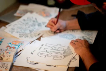
Defining
Geospatial
Leaders in the region explain geospatial technology and the many ways it's being used in St. Louis.
Location, location, location.
Many know it as the mantra of real estate agents, but location is becoming increasingly relevant in many other industries thanks to the growth of geospatial technology.
While “geospatial technology” may sound intimidating to those outside the geospatial sector, most people already use it. Looking up directions with Google maps, adding a location-specific filter to a Snapchat story, searching for a nearby restaurant on Yelp—all these activities use geospatial technology.
But what is it, exactly?
The National Geospatial-Intelligence Agency defines it as the analysis of the earth using imagery and geospatial information that describes, assesses and visually depicts physical features and geographically referenced activities on Earth.
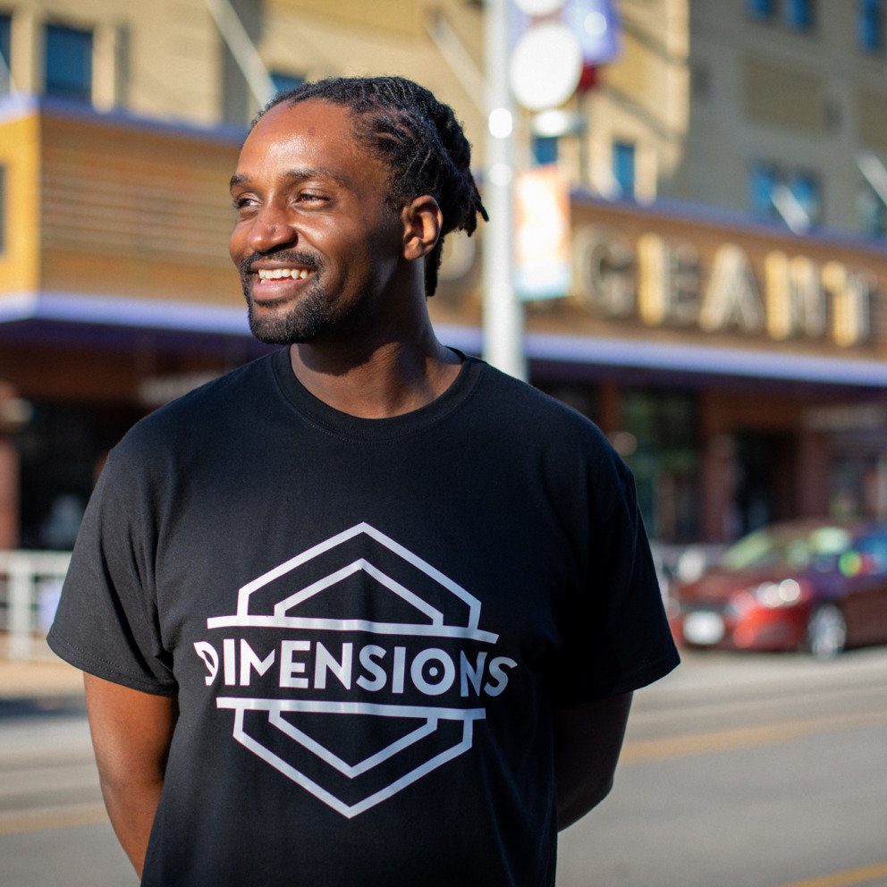
Andy Dearing is a project lead with GeoFutures, an initiative created to bolster the St. Louis region’s evolving geospatial sector. He boils that definition down a little further.
“It’s a map of where you are, and being able to put the context of all the things that are around you that also have a location,” says Dearing. “There are many applications with regards to geospatial and how geospatial is used in everyday lives.”
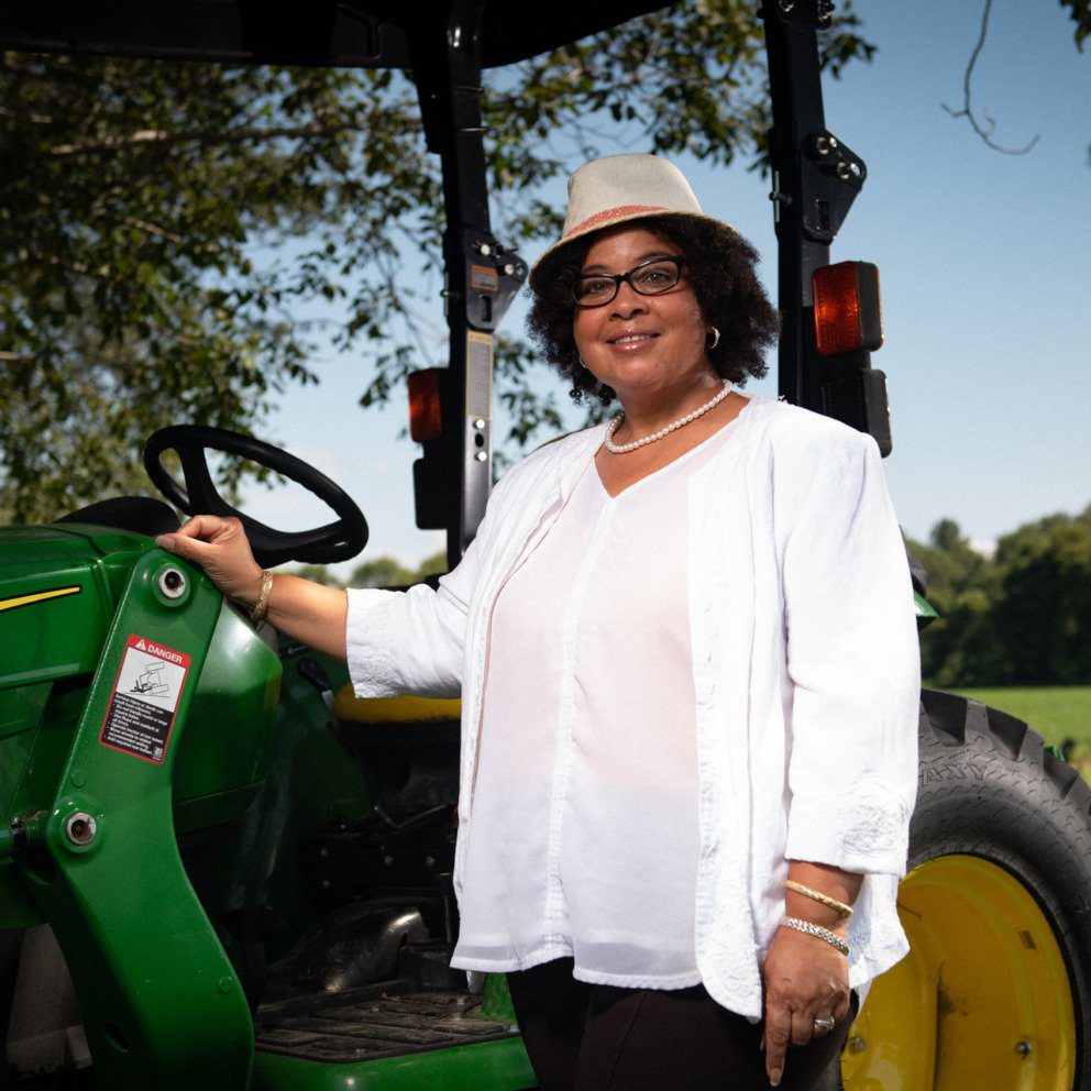
In addition to the more well-known areas of navigation and transportation, two other sectors where geospatial is already being used in the St. Louis region are government (the NGA) and agriculture. While the NGA uses mapping platforms and satellite imagery to help provide safety over the nation’s adversaries and assist with humanitarian disaster response, farmers are using satellite imagery to assess their crops.
“They’re looking at fields and crops and crop health. And they’re doing it from satellites that are up in the air,” says Dearing. “Then they’re making more informed decisions about where to plant, when to apply certain fertilizers or those sorts of things, to really help them perform the best that they can.”
With both the NGA and agriculture, “They’re using geospatial technologies to really provide better knowledge and better understanding, to make more informed decisions,” says Dearing.
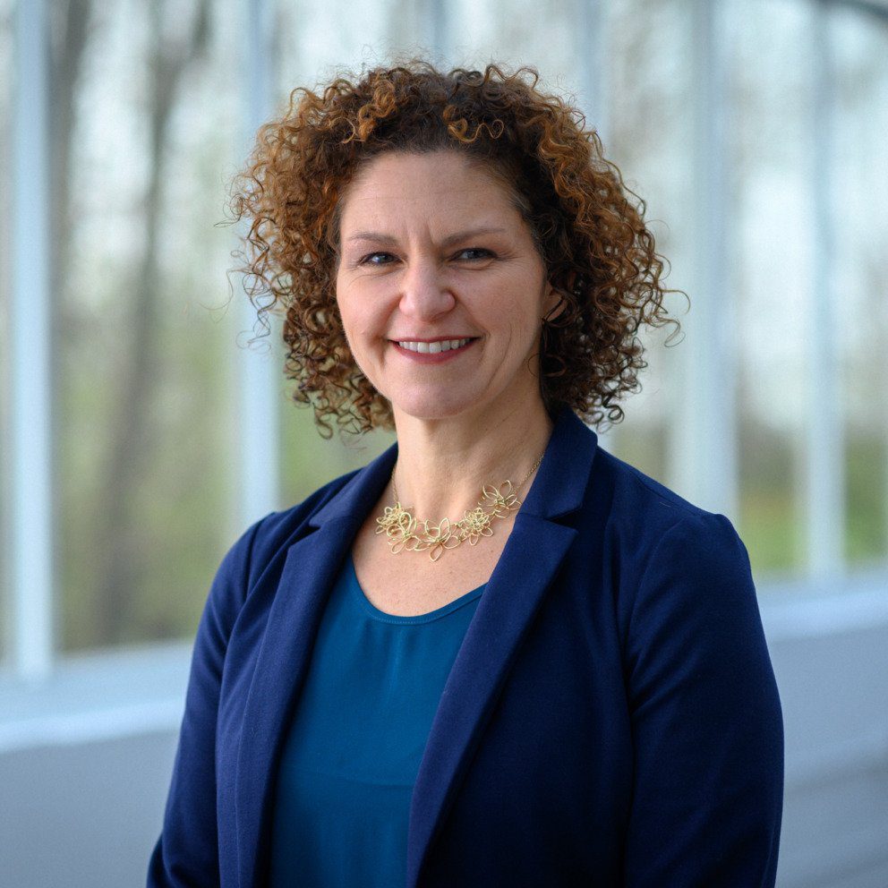
Health care is another sector that has been transformed by geospatial technology. Professor Enbal Shacham, Ph.D., of Saint Louis University’s College for Public Health and Justice, uses geospatial technology in several areas of public health research. Since late 2019, she has been using geospatial technology to predict and track the spread of the coronavirus.
Shacham cites infectious diseases like the coronavirus as a perfect example of how geospatial science intersects with public health. Geospatial data helps “identify who, what and where are at higher risk for certain conditions,” says Shacham. With COVID-19, she used airport and nursing home data to predict how the virus would spread.
“Most of my research focuses on how location affects our health outcomes,” says Shacham. “The more we learn, the better our communities and our community health is.”
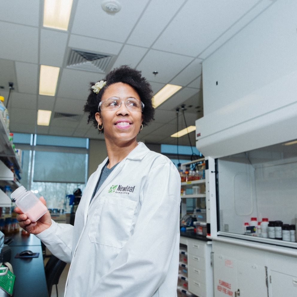
While health care can be improved by geospatial data, entrepreneur Bronwyn Morgan founded her drone services and data company, XEO Air, because she saw the potential for its use in many other industries, too. XEO Air is one of the companies that’s a part of the Geospatial Innovation Center at T-Rex in downtown St. Louis. XEO Air is a drone services company, providing geospatial information to clients in construction, civil infrastructure, insurance and disaster response.
“We are data collectors, as drone pilots, but at the end of the day, we’re a data company,” says Morgan. “We just happen to get our data from the sky.”
“Using that data to make faster decisions, it will become a part of everything,” she continues. “Especially when we start getting into things like drone delivery, geospatial will become an even bigger player in the smart cities of the future that we’re moving towards.”
Dearing agrees that the need for geospatial data and technology will only grow.
“When we need to make better, more informed, factual, scientific-based decisions now more than ever, geospatial is key and is part of that,” says Dearing. “I’m looking forward to seeing the next several chapters of where this industry is going.”
This story is part one of a four-part series on geospatial in St. Louis. Check out part two on Bronwyn Morgan’s entrepreneurial experience founding XEO Air, part three on Kemba Noel-London’s intersectional research using geospatial in public health, and part four with Andy Dearing and others on the steps being taken to make St. Louis a global geospatial hub.